Australian census
Who are Australia’s homeless?
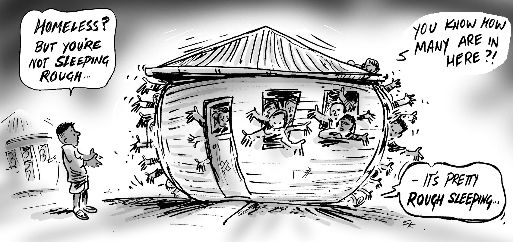
The topic of Homelessness is one of the most frequently raised during our briefings to councils and communities across the country. On March 14th, the ABS released ‘Estimating Homelessness‘. This eagerly anticipated publication comes...
Taking a closer look at South Australia’s Indigenous age profile
Background One of. id’s blog readers recently contacted .id requesting further information regarding the age profile of younger persons across Australia and South Australia and the State’s Indigenous...
How do Australians get to work?
The 2016 Census contains data on how people got to work on Census day. This is one of only two transport-related topics in the Census (the other one being ‘Number of motor vehicles’), and the data are eagerly...
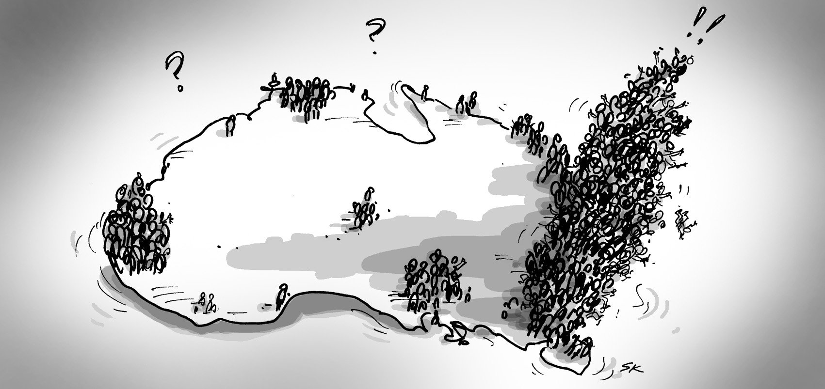
Australia’s population continuing to grow rapidly
Highlights from the latest population figures released by the Australian Bureau of Statistics
Census Crystal Ball Gazing – so how did I do? Part 2
While the 2016 Census was still in the field, I made 12 predictions for the Census results.
Exploring census data: the importance of geographic scale
The ABS Census is a critical resource that offers us invaluable insights into our communities and how they are changing.
How our SAFi population forecasts performed against State Government
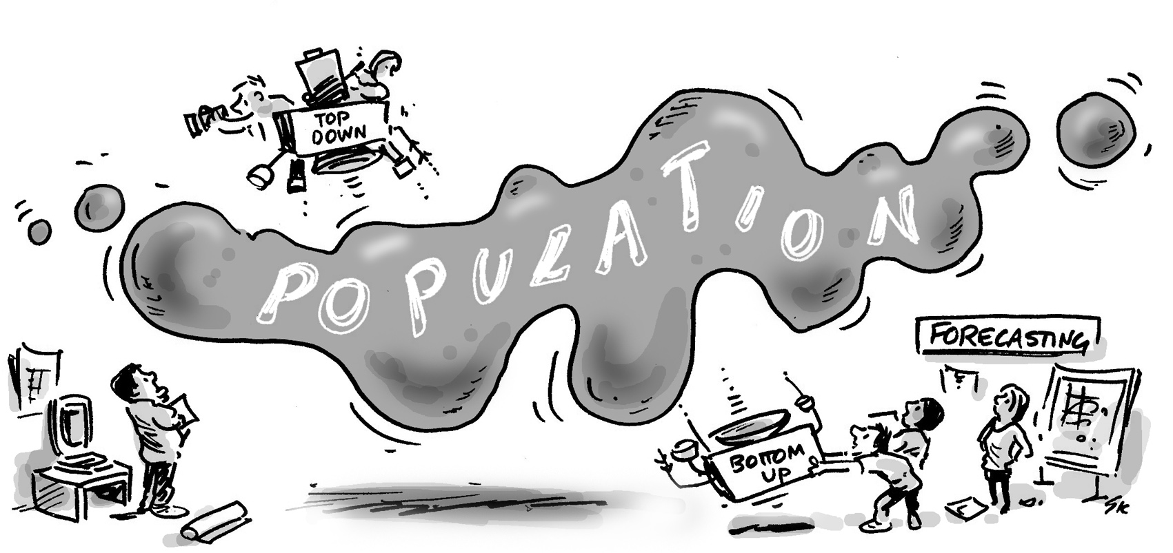
Forecasting the future population is a highly complex undertaking that incorporates a large number of inputs, detailed underlying assumptions, sophisticated modelling, and a huge amount of knowledge and...
Tips and tricks to understanding Census data: how to visualise a story
Let’s face it, analysing and managing Census data can be a complex beast. At .id, we invest a huge amount of time understanding and applying Census data, so we thought we’d share some of our secrets to help...
Early insights from the second-release Census data
- Australian census /
- Features and updates /
- Demographic analysis /
- Local area analysis /
- Population trends /
- Online tools
Second release data released by the ABS October 23rd marked the second release of 2016 Census data by the Australian Bureau of Statistics.
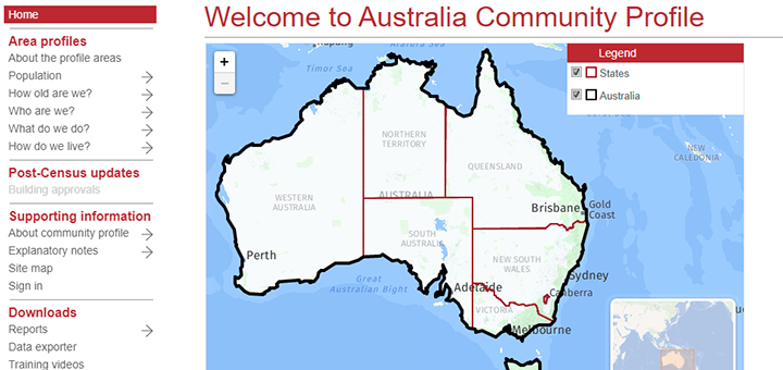
Big picture: the Australia community profile
What does Australia look like in 2016, and what’s changed? If you’ve used our free tools before, chances are you’ve used a community profile.
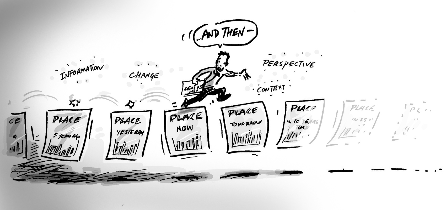
Understanding places: How to tell a demographic story
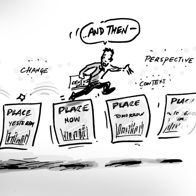
Australia is a diverse country which varies greatly from state to state, suburb to suburb and even between neighbouring neighbourhoods. One way of understanding a place and the people who live there is to use...
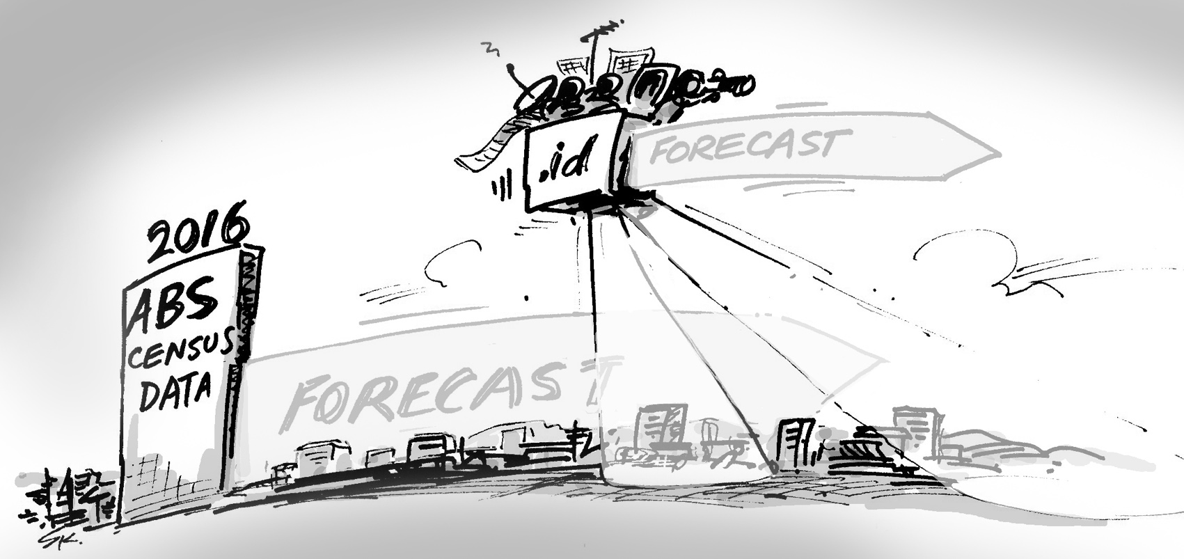
Forecasting the future: what we learned from the 2016 Census
When developing population forecasts, we rely on data sources such as the Census to build our knowledge of how Australia’s towns, cities and remote communities are growing and changing over time. We use this...
How close did we get? Comparing .id’s Small Area Forecast information with population estimates
As population forecasters, we eagerly awaited the release of detailed Census data, as it provides an important input into our Small Area Forecast information (SAFi) population forecasts. When the Australian...
Where are school-aged kids located? Top 10 growing and slowing suburbs
Between the 2011 and 2016 Censuses, there was an increase of 174,600 school aged kids (5-17 years) across Australia – the equivalent of approximately 300 schools!
Regional cities – are they growing or slowing?
It’s no secret that Australia’s largest cities are recording rapid rates of population growth. This presents challenges for infrastructure provision, transport and demand for services. How do urban planners...
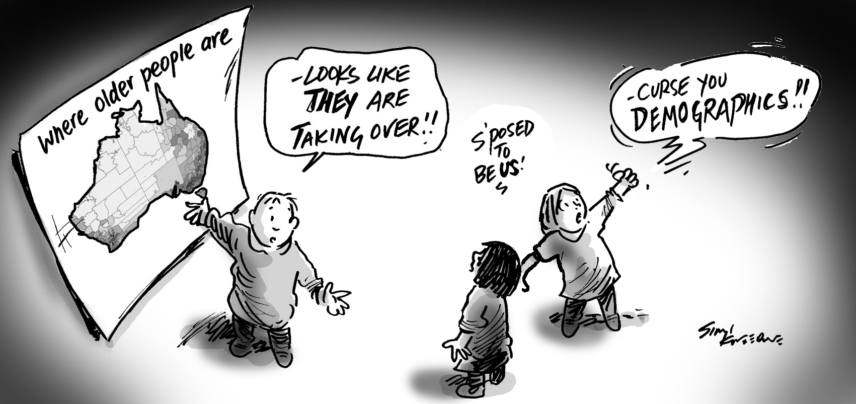
Where do older people live?
One of the more powerful aspects of Census data is the ability to analyse population characteristics at small areas of geography.
Managing changes to 2016 Census data: interpreting perturbation and additivity
With recent changes to the way the ABS processed some of the 2016 Census data, we thought we’d give you an overview of the changes and things to consider so you can best analyse Census information. In short,...
New in your social atlas: mapping change over time
In this blog we take a look at the new change over time feature map in your social atlas tool.
Children in apartments – where the bloody hell are they?
Greater Sydney, that’s where! The Local Government Areas (LGAs) of Greater Sydney have dominated the children in apartments market in 2016.
What is a peri-urban area and how are they changing?
At .id, we often blog about population growth and change across metropolitan areas of Australia because let’s face it – the current era of rapid population growth is changing our demographic story and creates...
What housing affordability crisis?
It seems you can’t open a newspaper (does anyone do that anymore?), look at a website, or watch the TV news without seeing some story about housing affordability.

