This is the annual update to Glenn’s incredibly popular Top 50 cities in Australia blog. Updated population data is released every year by the ABS. Of course, everyone loves a ranking, and here you can see the main urban areas in Australia, which remains one of the most urbanised nations in the world.
Updated: read the 2020 update to these figures here

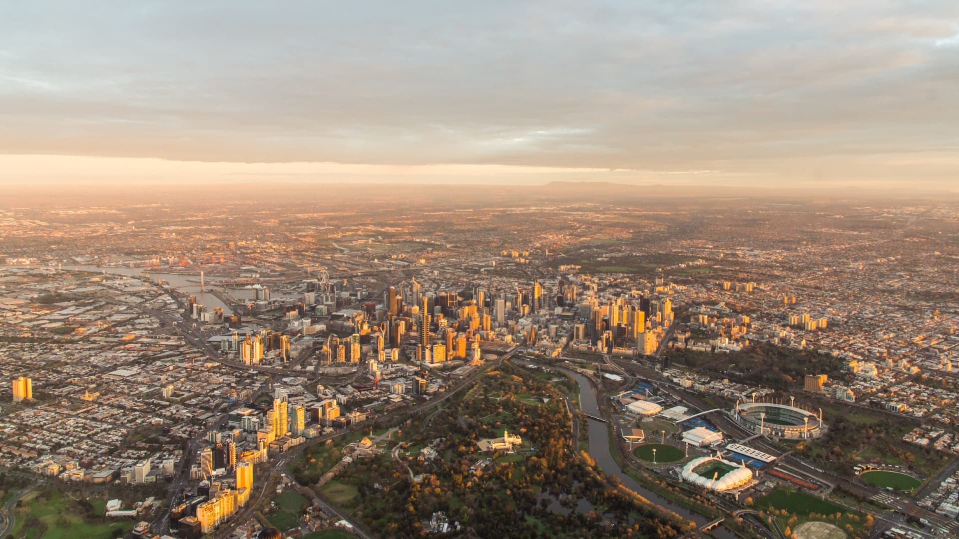
Sydney and Melbourne continue to top the list, a long way ahead of even third place. Our two biggest cities, combined, make about 40% of the nation’s population.
| Rank |
City (Significant Urban Area) |
2017 Population |
5-year growth |
5 year growth % |
1 year growth |
1 year growth % |
| 1 |
Sydney |
4,741,874 |
433,750 |
10.1% |
98,079 |
2.1% |
| 2 |
Melbourne |
4,677,157 |
557,346 |
13.5% |
119,975 |
2.6% |
| 3 |
Brisbane |
2,326,656 |
203,040 |
9.6% |
46,366 |
2.0% |
| 4 |
Perth |
2,004,696 |
141,620 |
7.6% |
19,789 |
1.0% |
| 5 |
Adelaide |
1,315,346 |
55,749 |
4.4% |
9,535 |
0.7% |
| 6 |
Gold Coast – Tweed Heads |
663,321 |
68,091 |
11.4% |
16,338 |
2.5% |
| 7 |
Newcastle – Maitland |
481,183 |
23,063 |
5.0% |
4,529 |
1.0% |
| 8 |
Canberra – Queanbeyan |
447,457 |
33,746 |
8.2% |
6,914 |
1.6% |
| 9 |
Central Coast |
329,437 |
12,254 |
3.9% |
2,413 |
0.7% |
| 10 |
Sunshine Coast |
325,399 |
36,616 |
12.7% |
7,995 |
2.5% |
| 11 |
Wollongong |
299,203 |
15,531 |
5.5% |
3,534 |
1.2% |
| 12 |
Geelong |
260,138 |
28,415 |
12.3% |
6,869 |
2.7% |
| 13 |
Hobart |
208,324 |
8,743 |
4.4% |
2,227 |
1.1% |
| 14 |
Townsville |
180,346 |
9,321 |
5.5% |
1,486 |
0.8% |
| 15 |
Cairns |
151,925 |
9,701 |
6.8% |
1,884 |
1.3% |
| 16 |
Toowoomba |
135,631 |
7,056 |
5.5% |
1,594 |
1.2% |
| 17 |
Darwin |
132,708 |
12,281 |
10.2% |
663 |
0.5% |
| 18 |
Ballarat |
103,481 |
8,508 |
9.0% |
1,893 |
1.9% |
| 19 |
Bendigo |
97,096 |
8,148 |
9.2% |
1,509 |
1.6% |
| 20 |
Albury – Wodonga |
91,923 |
6,721 |
7.9% |
1,347 |
1.5% |
| 21 |
Launceston |
86,788 |
863 |
1.0% |
453 |
0.5% |
| 22 |
Mackay |
80,427 |
– 238 |
-0.3% |
– 353 |
-0.4% |
| 23 |
Rockhampton |
78,871 |
1,522 |
2.0% |
76 |
0.1% |
| 24 |
Bunbury |
74,478 |
4,480 |
6.4% |
376 |
0.5% |
| 25 |
Coffs Harbour |
70,857 |
3,599 |
5.4% |
723 |
1.0% |
| 26 |
Bundaberg |
70,578 |
727 |
1.0% |
269 |
0.4% |
| 27 |
Melton |
65,423 |
13,741 |
26.6% |
3,306 |
5.3% |
| 28 |
Wagga Wagga |
56,181 |
1,767 |
3.2% |
221 |
0.4% |
| 29 |
Hervey Bay |
53,492 |
2,935 |
5.8% |
686 |
1.3% |
| 30 |
Mildura – Wentworth |
51,473 |
2,410 |
4.9% |
475 |
0.9% |
| 31 |
Shepparton – Mooroopna |
51,142 |
2,778 |
5.7% |
449 |
0.9% |
| 32 |
Port Macquarie |
46,948 |
3,005 |
6.8% |
701 |
1.5% |
| 33 |
Gladstone – Tannum Sands |
44,984 |
1,290 |
3.0% |
– 102 |
-0.2% |
| 34 |
Tamworth |
42,347 |
1,852 |
4.6% |
369 |
0.9% |
| 35 |
Traralgon – Morwell |
41,626 |
796 |
1.9% |
293 |
0.7% |
| 36 |
Orange |
40,079 |
1,864 |
4.9% |
324 |
0.8% |
| 37 |
Bowral – Mittagong |
39,300 |
2,714 |
7.4% |
538 |
1.4% |
| 38 |
Busselton |
38,289 |
5,156 |
15.6% |
693 |
1.8% |
| 39 |
Geraldton |
37,931 |
269 |
0.7% |
– 358 |
-0.9% |
| 40 |
Dubbo |
37,666 |
2,111 |
5.9% |
541 |
1.5% |
| 41 |
Nowra – Bomaderry |
37,027 |
2,121 |
6.1% |
318 |
0.9% |
| 42 |
Warragul – Drouin |
36,538 |
5,235 |
16.7% |
1,185 |
3.4% |
| 43 |
Bathurst |
36,448 |
2,343 |
6.9% |
435 |
1.2% |
| 44 |
Warrnambool |
34,912 |
1,504 |
4.5% |
294 |
0.8% |
| 45 |
Albany |
34,151 |
1,628 |
5.0% |
236 |
0.7% |
| 46 |
Kalgoorlie – Boulder |
30,541 |
– 1,997 |
-6.1% |
– 141 |
-0.5% |
| 47 |
Devonport |
30,153 |
-73 |
-0.2% |
87 |
0.3% |
| 48 |
Mount Gambier |
29,472 |
871 |
3.0% |
15 |
0.1% |
| 49 |
Lismore |
28,764 |
– 560 |
-1.9% |
-215 |
-0.7% |
| 50 |
Nelson Bay |
27,606 |
1,269 |
4.8% |
246 |
0.9% |
Why are we using ‘2017’ figures?
The Australian Bureau of Statistics’ Regional Population Growth report was released on 24 April 2018. As there is always a delay between collecting, calculating and releasing these figures, the date for the data always appears to be ‘last year’. Rest assured, these are the most up-to-date population data available.
Deciding where a place starts and finishes
Note that these figures are based on the “Significant Urban Area” geography. This is defined by the ABS as an aggregate of areas which roughly contain the continuous urban extent of a city without major gaps. It is different to the figures you might see elsewhere, which are based on “Greater Capital City Statistical Areas” (GCCSAs), and cover a wider labour market region where most people commute into the capitals to work.
For instance, the Sydney and Melbourne GCCSAs have 2017 populations of 5,131,326 and 4,850,740 respectively. You can see the numbers below are a bit less than that, particularly for Sydney. That’s because non-contiguous urban areas are separated out in the Significant Urban Area classification.
Sydney’s GCCSA population includes the Central Coast while the Significant Urban Area excludes it as it’s non-contiguous. The same goes for the centre of Melton on the outskirts of Melbourne. These are separate centres in this view of the world. This provides a better measure of true bounded urban areas, but neither version is “correct” or better than the other. It also enables capital city populations to be compared to regional centres in the list below, which don’t have a wider capital city area defined.
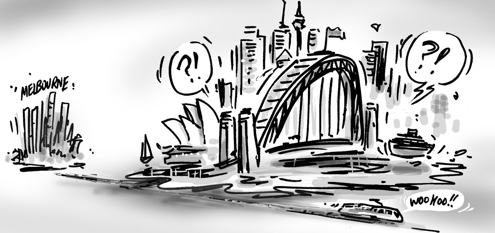
On this measure, Sydney is only marginally larger than Melbourne, and if population growth trends continue, Melbourne (which added 124,000 more people than Sydney in the last 5 years) will once again become Australia’s largest city within 4 years (Melbourne was bigger than Sydney through much of the late 1800s). If Greater Capital City areas are used, it will take a bit longer.
Notable changes
The top 50 cities go down to a population of just under 28,000, with Nelson Bay, NSW, coming in at #50 this time, and replacing Alice Springs, which drops out, leaving only one place in the Northern Territory in the top 50 (Darwin).
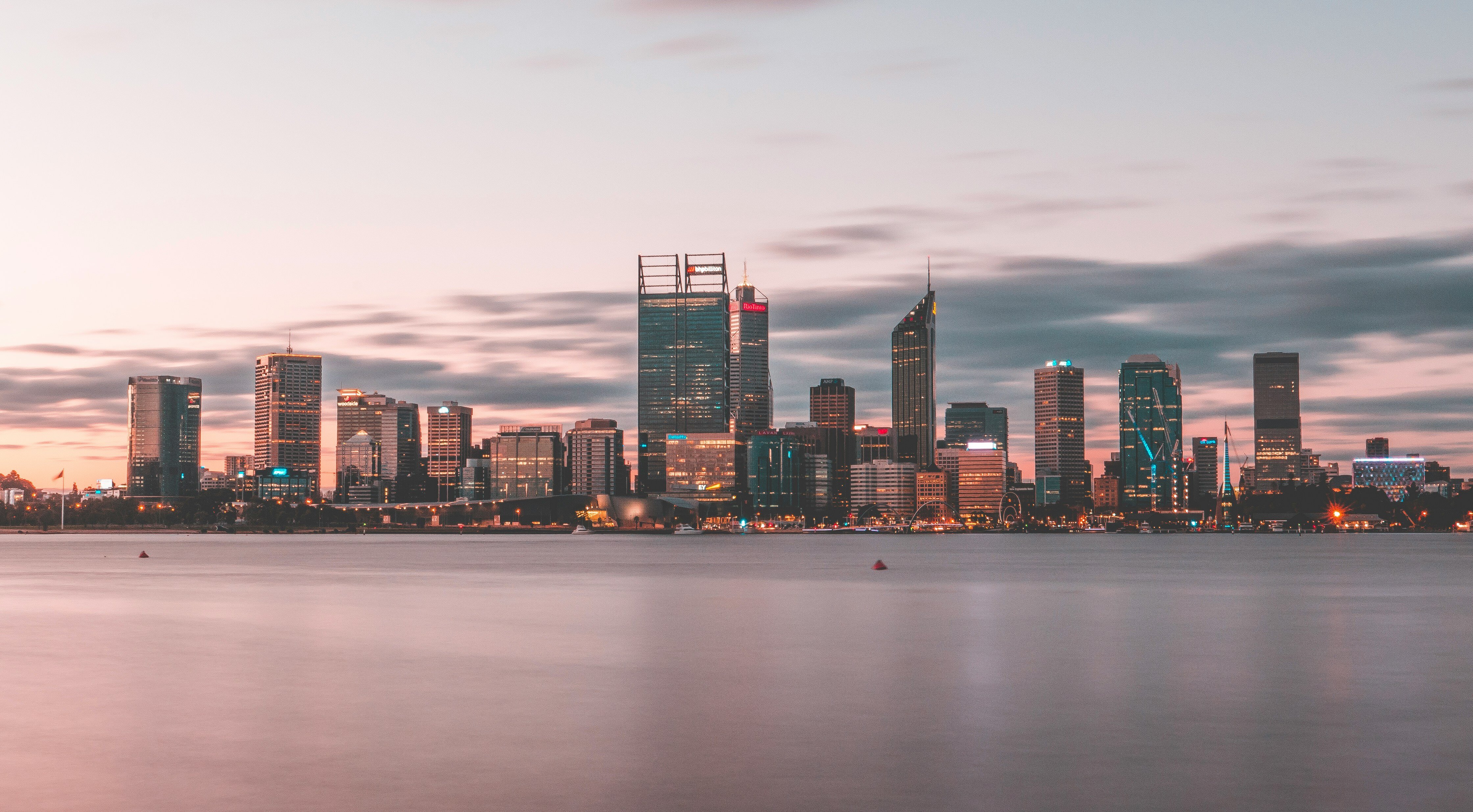
The top 5 haven’t changed, and, apart from Sydney and Melbourne possibly swapping places, won’t change for a while. Adelaide is the slowest growing of our capitals, but still has twice the population of the Gold Coast, the largest regional area in the list.
Hobart is booming -the Tasmanian capital, while only the 13th largest city in Australia, had a growth rate equal to Adelaide over 5 years, and significantly higher at 1.1% in the past year.
Perth still grew strongly over 5 years (7.6%), but over the last year growth has fallen to 1.0% – actually lower than Hobart – with the end of the mining boom and significant out-migration interstate.
This version of the classification also has the advantage of combining areas across state borders. So Albury-Wodonga appears as a single place on this list, coming in at number 20, and having a 1.5% growth rate.
Population rivalries
Other than Sydney-Melbourne, there are a few other key rivalries represented in the table.
Ballarat and Bendigo appear right next to each other at 18 and 19 in the table and either side of 100,000 people. Growth rates are very similar, with Bendigo growing slightly more over 5 years, but 1 year growth goes to Ballarat.
Hobart is number 13, while Launceston is number 21 – but Hobart has twice the growth rate.
Wollongong’s growth rate exceeds that of Newcastle, though Newcastle remains much larger.
This method of breaking up the population also has some interesting idiosyncrasies. As mentioned, Central Coast and Melton are considered separate cities to Sydney and Melbourne respectively. Traralgon and Morwell are combined, but Moe, which many would consider part of the same urban area in the Latrobe Valley, is far enough apart to be separate (and outside the top 50).
We get a lot of questions with these blogs!
“Where is <insert place name here>? It’s way bigger than <these> places”.
Chances are if you can’t see your place, it’s considered part of a larger metropolitan area. A good example is Ipswich, Queensland, which is part of the Brisbane urban area.
Estimated Resident Populations are now updated on all profile.id and economy.id sites to 2017, and will continue to be updated annually to the next Census.


