Residents of Launceston are younger than the Tasmanian and Australian average, but the ageing of the baby boomers is the dominant population trend. The area is relatively low income but with an increasing high income population, and it attracts people into the area from across Northern Tasmania, and from interstate, particularly from New South Wales.
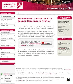
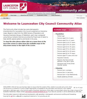
The City of Launceston, which is the most populous Local Government Area in Tasmania, has become the most recent addition to the .id community. Welcome! We’ve just delivered an online community profile for the City and 17 suburbs and districts suburbs based on the 1991, 1996, 2001 and 2006 Australian Census. It uses Census data to tell the story of Launceston’s population – how it compares to the region and how it is changing over time. We have also provided a detailed social atlas for Launceston, which maps population and dwelling characteristics across the local government area.
The City of Launceston Local Government Area covers most of the urban area of Launceston. Some parts of the urban area also fall into Meander Valley and West Tamar councils, both of which have community profiles as well, and Northern Midlands Council, which currently does not.
Launceston is the second-largest city in Tasmania, but the City of Launceston council is the largest local government area in the state (Hobart, though having a higher population overall, is split into multiple LGAs).
These public resources will be available via Council’s website to all staff and the community. It will assist council with planning for service delivery, asset management, housing policies, funding submissions, investment attraction and advocacy work. It is also designed to inform community groups, investors, business, students and the general public. The information will be updated with 2011 Census data when it becomes available in 2012.


So what does the profile show about Tasmania’s largest council?
- Launceston is growing – It added 2,200 people between 2001 and 2006, and has added another 1,300 since. This understates the total growth of the urban area, as the main growth corridors are in Meander Valley and West Tamar.
- Launceston is young – It attracts significant numbers of 15-24 year olds to education and employment opportunities, and has a higher proportion of people in their 20s and early 30s than the Tasmanian or national averages.
- 5.0% of Launceston’s population were attending university, compared to only 3.0% across Tasmania.
- Despite the younger population, the ageing of the baby boomers was the dominant population trend between 2001 and 2006, with an increase of almost 900 people in their 50s (born between 1946 and 1955).
- Launceston has slightly lower than average incomes, but the main increase in population was among higher income groups to 2006.
- Nearly one-third (30.6%) of all dwellings in Launceston are rented – above the Tasmanian average.
- Cultural diversity was relatively low but increasing, with significant emerging populations from Sudan, China and Malaysia.
Among Launceston’s 17 suburbs and districts:
You can view the information for each suburb of Launceston in the community profile and atlas, including time series back to 1991.
A total of five Tasmanian Local Government Areas subscribe to .id’s information tools for evidence-based decision making:
- City of Devonport
- City of Launceston
- West Tamar Council
- Meander Valley Council
- Glenorchy City Council
You can see the full list of subscribers in your state, and access their profile, forecast, atlas and economy.id sites from the .id community client list.
.id is a team of demographers, population forecasters, spatial planners, urban economists, IT and data experts who use a unique combination of information, applications and consulting to help governments and organisations understand people and places for evidence-based planning.
Access our population forecasts for Local Government Areas here.


