Location analysis – solving the where-when riddle for a major Australian charity
A major Australian charity was looking for ways to increase donation rates. In particular, they wanted to know where their static, mobile and new donation centres should be located, now and in the future. Here’s how we built a powerful spatial evidence base to support their network planning.

Working with .id, the charity was able to determine the catchment area for different types of centres, quantify the potential donation population in each catchment and compare that to the centre’s performance. With access to .id’s population forecasts, they could also identify strategically important new sites and time their introduction.
Using the visualisation tools built into .id’s geo-spatial application .idPlacemaker they were able to overlay demographic and population data onto maps showing the catchment areas of individual donation centres. An ability to account for demographic differences showed that proximity to donation centres mattered less than expected in determining donation rates, which in turn suggested that education-based strategies may be more effective than access-based strategies in some areas.
Their network planning is now supported by a strong evidence base and narrative that everyone can understand which makes it easier to gain support for change.
Business challenge
The charity operates from over 80 static sites, as well as from 35 mobile units, which visit over 1,000 locations around the country. The charity required a well-designed evidence-base that could support network planning decisions about when and where to locate both static and mobile collection sites and target marketing activities.
However, ‘performance’ was not as easy to measure as hoped. The charity’s initial assumption was that penetration rates within catchments would give a clear signal as to which sites were under or over-performing. However, it was shown that catchments built on geographical proximity were too simplistic to capture actual donor behaviour, and there was significant competition between sites, especially between static and mobile sites.
They knew where their existing donor base was, but they didn’t know where potential donors were being missed and where they were leaving good will untapped within the community. Hence the need for a strategic review of their network planning.
They also wanted to know more about what was driving donation results. Was it access to a donation centre? Or was it the quality of information and level of service provided by different centres? Was it demographic drivers? They needed to understand the complexity of what motivates someone to donate and then find a way to measure that and turn it into meaningful numbers at the local geography.
The biggest challenge was forecasting demand (quantifying the size of the potential market in any geographic location). What constituted the available population? Was it the people who lived in the area or worked in the area or a combination of both? How do you quantify the size of a catchment for a donor centre given that people may live locally, or work locally but live far from their place of donation?
To make things more difficult, there was incomplete data internally for answering these questions as the charity only collected their donors’ residential address but not their work address.
The charity had used mapping software in the past, but did not have enough in-house skill with either GIS or Census data. They decided it would be more effective to engage external people with the expertise in applying spatial data to business problems.
The .id solution
Once .id were engaged, we refocused the question of performance along geo-spatial and demographic lines. That is, “What are the characteristics of communities with a high or low donation rate?” “Where can we find other communities with these characteristics that we are not currently investing in?” Are there areas where we are currently investing that do not have good potential based on their underlying demographic characteristics?”
Ultimately, we brought it back to the charity’s objective – how to increase donations.
First we geo-coded donor information and calculated penetration rates within the population. We could then present heat maps showing where donations were higher and lower, and overlay this with demographic characteristics to make statements about the characteristics of communities with higher than average donation rates within the population.
Next we used our expertise in querying Census data to come up with an appropriate measure of the available population that took into account people living, working and/or studying in each geographic location during daytime hours when the donation centres are operating.
The last step was to overlay the collection site locations to see what the relationship was between site locations, penetration rates and available population.
We then used our expertise with analysing and presenting journey to work data, overlayed with data identifying the residential address of donors to map catchment geographies for each collection site that took into account both people’s living and working locations. Knowing how to use Census data this way, enabled us to resolve the problem that only the residential address of donors had been collected.
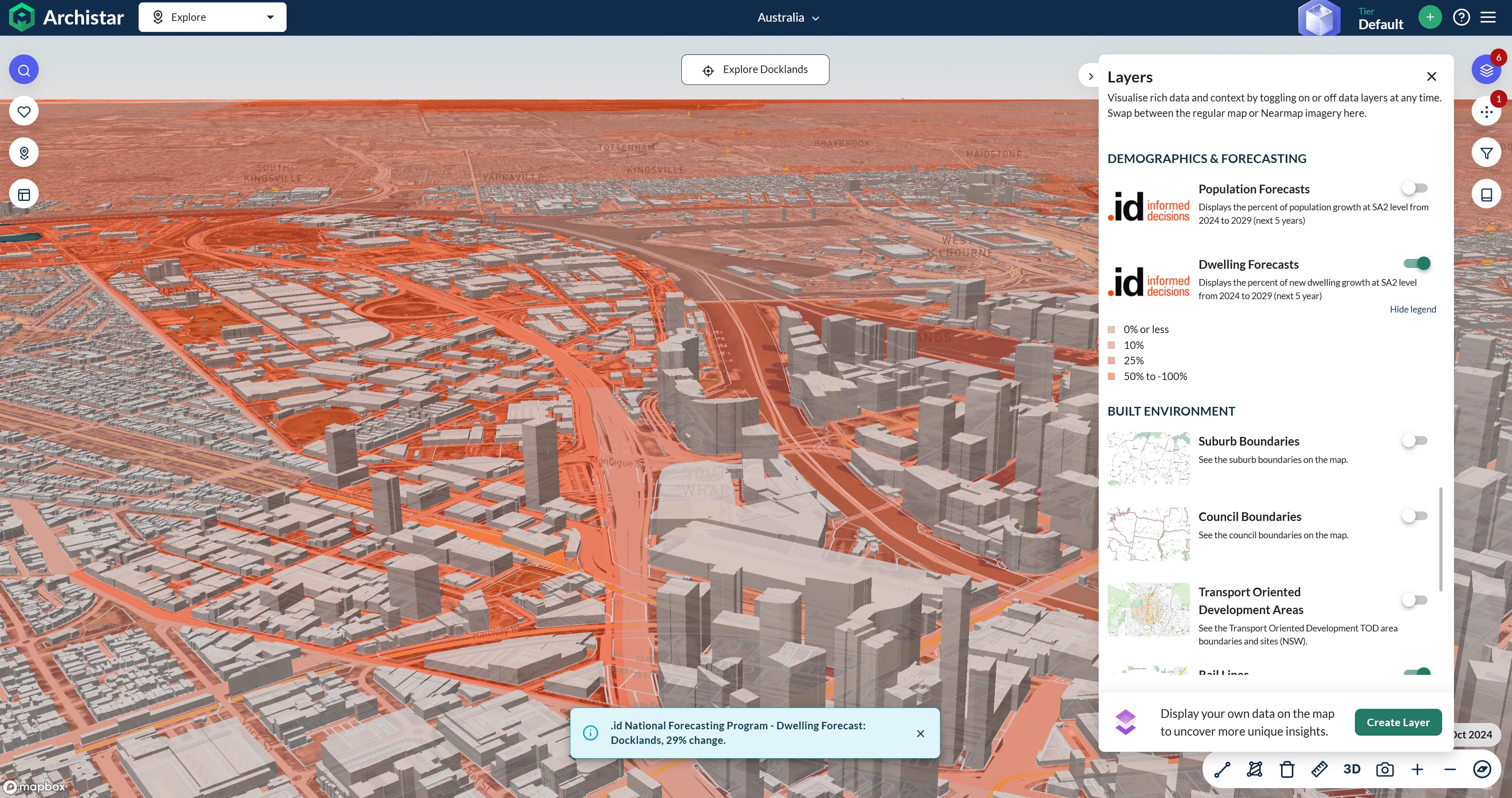
We presented the information in .idPlacemaker as a series of interactive heat maps, overlayed with site, donor and catchment data that enabled us to visualise and explore where demand was in relation to collection centres.
Outcomes – data driven success
The results were surprising. Firstly, we discovered that access to a donation centre may not be the best indicator of donation behaviour. For example, Perth and Brisbane had similar donor penetration rates, but Brisbane has six times the number of donation points. In fact the underlying demographics of the community were shown to be a better indicator of donation behaviour than the location of collection sites.
It became clear that the leading indicator of a community’s propensity to donate was the proportion of people of non-English speaking backgrounds there were in that community. Once this was accounted for, donation rates across different cities were almost identical, regardless of the level of access. This indicated that increasing donation rates may require an education-based approach rather than an access-based approach.
The charity also identified that there was a significant overlap between mobile and static sites, and that they could redeploy their mobile collection sites more effectively based on the demand and catchment models developed.
Finally, based on .id’s population forecasts, the charity was also able to identify several additional areas of high population growth where they needed to establish a presence.
What the client said…
“Our network planning is now based on a strong evidence base and narrative that everyone can understand which makes it easier to gain support for change. We really valued being able to sit down and talk through problems and develop an elegant solution that worked.
.id’s approach of delivering information in an online application facilitates this approach because we could build the data to answer one the problem and then work through the problems in a staged and methodical way. Test a hypothesis, visualise it and then use the spatial patterns to inform the next stage of the analysis.
.idPlacemaker is an elegant, robust, easy to use solution for analysing census and forecast data for strategic network planning.”
.id – the population experts
.id is a company of population experts – demographers, spatial analysts, urban planners, forecasters, census data and IT experts who build demographic information products for Australia & New Zealand.
We understand how cities, towns and regions are growing and changing. Name a place and we can tell you about its population’s past, present and future.
We use spatial data to tell this story in powerful web applications.
We share this knowledge with our clients so they can make confident decisions about when and where to provide services and invest in infrastructure.
Lailani - Population News
Lailani is responsible for content and strategy at .id, ensuring our clients’ needs are central to our enterprise and that we generously share our knowledge with the broadest audience. As a member of our Board, Lailani works with Ivan and Janet to set the strategic direction for the company. Her current focus is our Placemaker consulting business and she has worked with numerous clients across retail, finance, property, local government, education and not-for-profits to put together the best evidence-base for their spatial decision making. With degrees in Business Studies and Economics, she has worked in business development and marketing roles for IBM and SPSS in the UK, as well as a stint as a ranger in Kakadu National Park. Lailani is an Alexander Technique practitioner, surfer and traveller.