Spatial Planning has a long tradition in the northern hemisphere; and it’s likely to be widely adopted by local government in New Zealand – with Auckland Council about to publish its first Spatial Plan.

Spatial Planning
Spatial Planning is an approach to planning that co-ordinates policies and investment across agencies (private and public) to achieve common objectives for communities and activities in places of various geographies. It therefore requires understanding the role and function that cities are playing within their region and suburbs within their cities.
‘Spatial Planning’ can be a very effective way of planning for and investing in communities because it is a very direct approach to achieving outcomes at the local area level. For example it enables planners to target resources into areas of most need; or into places that will drive economic development. Another way of describing ‘Spatial Planning’ could be ‘Place Planning’ because first and foremost spatial planning requires a good understanding of ‘places’. It’s kind of ‘back to basics’ because planners need to be able to describe a place, understand its role and function within a region and determine from a policy perspective, how to achieve desirable outcomes for a place.
Challenges
A significant challenge for successful spatial planning, which was acknowledged by Ree Anderson (Manager Regional Strategy Community & Cultural Policy, Auckland Council) at a presentation I saw her give on the Auckland Spatial Plan at a conference recently, is to effectively coordinate budgets across all levels of government (and the commercial sector) to invest in a place to achieve a consistent outcomes.
I had some experience with the challenges of the spatial planning approach when I worked in State Government in Australia 20 years ago. I learnt that the most effective way of engaging all stakeholders in the spatial planning process was to build a narrative about a ‘place’. The key resource we used for doing this was Census data. Using Census data to tell stories about places provides a compelling basis on which to inform decision makers, engage stakeholders and build policy that leads to quality outcomes for the community.
Building a narrative
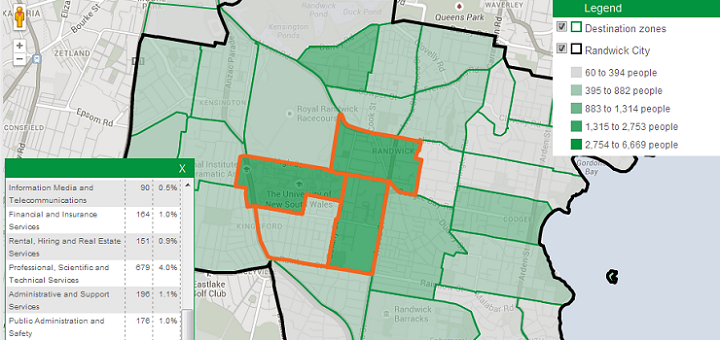
The team at .id have been applying this ‘spatial planning’ philosophy in the development of our tools for local government for the past 15 years. We have developed information tools using Census data that fit a spatial planning approach like a glove! You can see this in the community profile that we developed for Wellington City Council which encourages the user to build a story about the role and function that Wellington plays within its region; and each suburb within Wellington. This is the essence of spatial planning.
Understanding change
The next obvious step in the spatial planning process is to gain an understanding about what is driving the changes that are occurring in places.
Demographic forecasting provides a powerful evidence base by quantifying likely futures about places. While forecast outputs provide rigour to spatial planning decisions, the discipline of the forecasting process itself, can offer the planner and policy maker profound insight about places and their capacity and opportunity for change. That is, the process of forecasting is almost more important than the numbers that pop out at the end! As we go to press, .id’s forecasting team are finalising forecast.id for the City of Wellington – I’ll write more on what we have learnt about Wellington from the forecasting process later.
Finally, whether planners are explicitly employing a ‘Spatial Planning’ approach to their strategies or a ‘Systems’ approach, or an ‘Incremental’ approach; or whatever… developing evidence-based narratives about places using census data is a compelling way to understand cities, towns and regions.
.id is a team of demographers, population forecasters, spatial planners, urban economists, and data experts who use a unique combination of online tools and consulting to help governments and organisations understand their local areas. Access our free demographic resources here


